
Where to Learn GIS and Remote Sensing for Free?
Discover the best free GIS courses and remote sensing training online.
Written by David Hersh
•2 min read
The Open CourseWare Movement
The democratization of learning over the past few decades has reshaped the landscape for those looking to take their skills to the next level. Popularized by MIT OpenCourseWare, there are a considerable number of open-access, high-quality online courses available for everyone. These are some of my favorite platforms.
Platforms
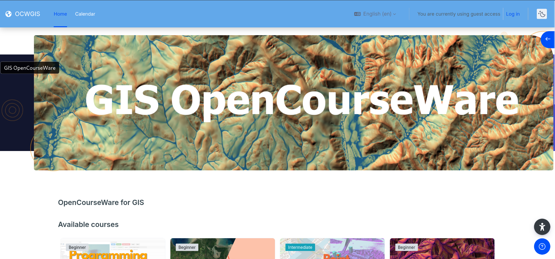
GIS OpenCourseWare
This is an invaluable resource for deep dives, especially in QGIS and the Point Data Abstraction Library (PDAL). Hosted by the IHE Delft Institute for Water Education, this platform was started by Hans van der Kwast, a leader in open-source GIS and Remote Sensing training.
See the full list of courses here.
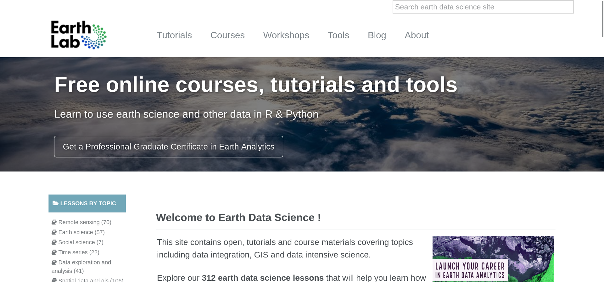
Earth Data Science
This platform has a wide variety of resources for working with Earth Data, introducting concepts thoroughly before diving into excellent code examples with lots of challenges. This is a great place for Earth Scientists to increase technical skills.
See the full list of courses here.
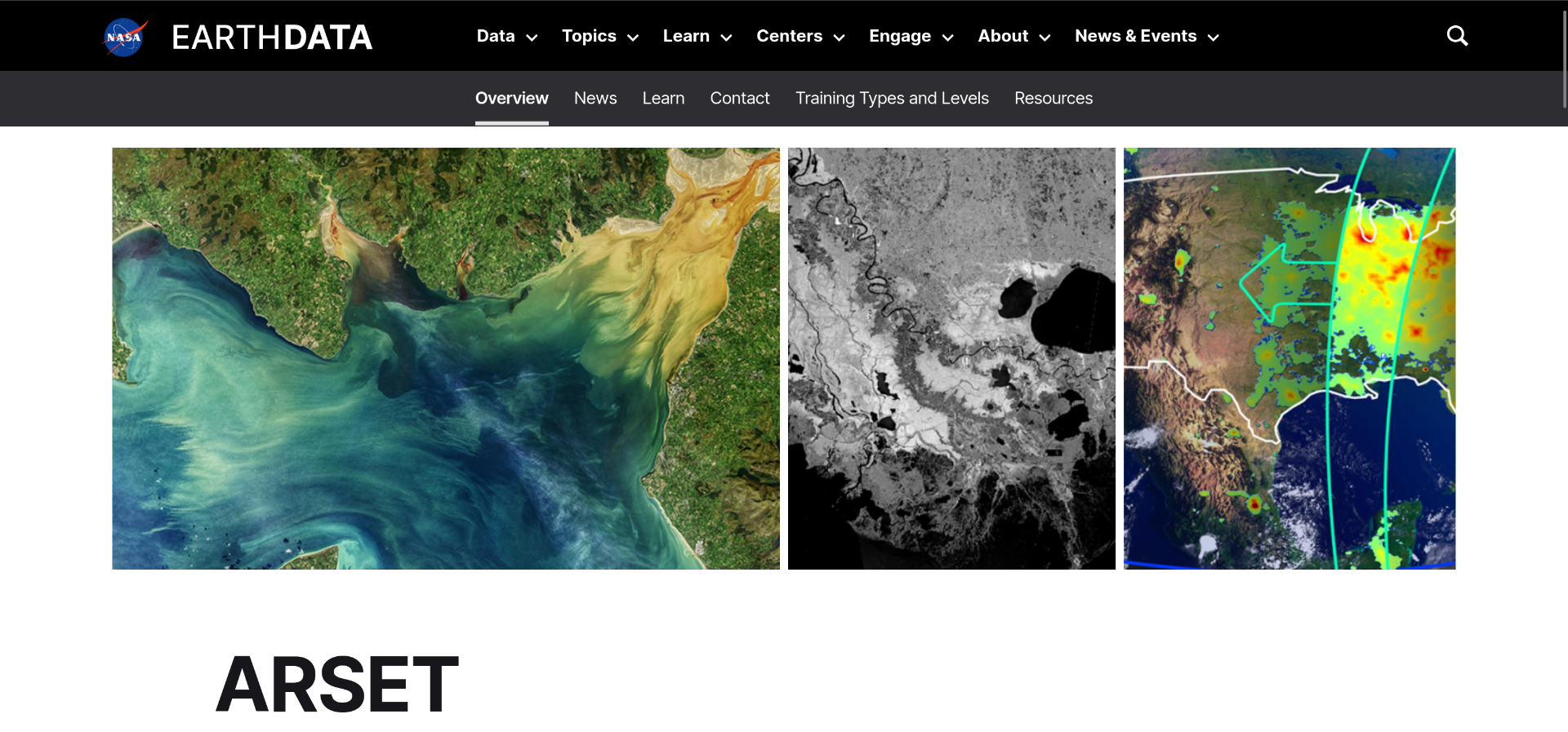
NASA Applied Remote Sensing Training Program (ARSET)
The ARSET program features training in Remote Sensing topics ranging from introductory to advanced. Training takes place live and participants can earn certificates of completion by attending training and submitting assignments.
See the training opportunities here.
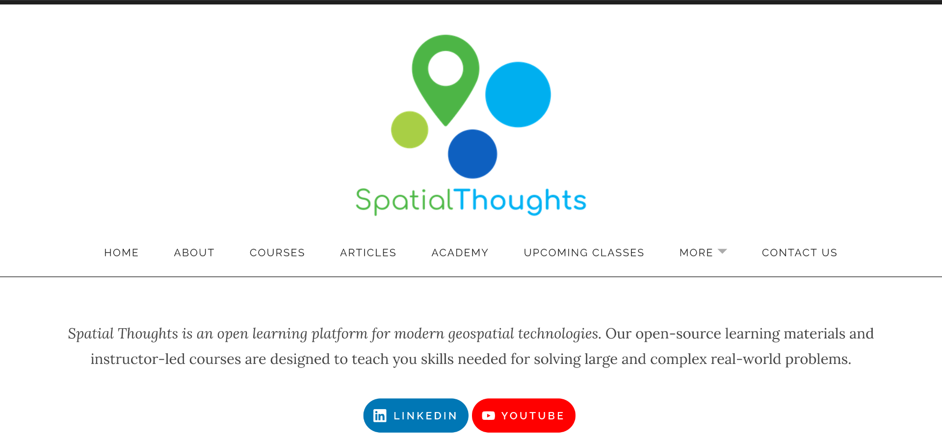
Spatial Thoughts
This platform features detailed courses in open-source software. Founded by Ujaval Gandhi, a leader in open-source geospatial training, Spatial Thoughts is a fantastic place to learn QGIS, Python, GDAL, and Google Earth Engine.
See the Spatial Thoughts OpenCourseWare here.
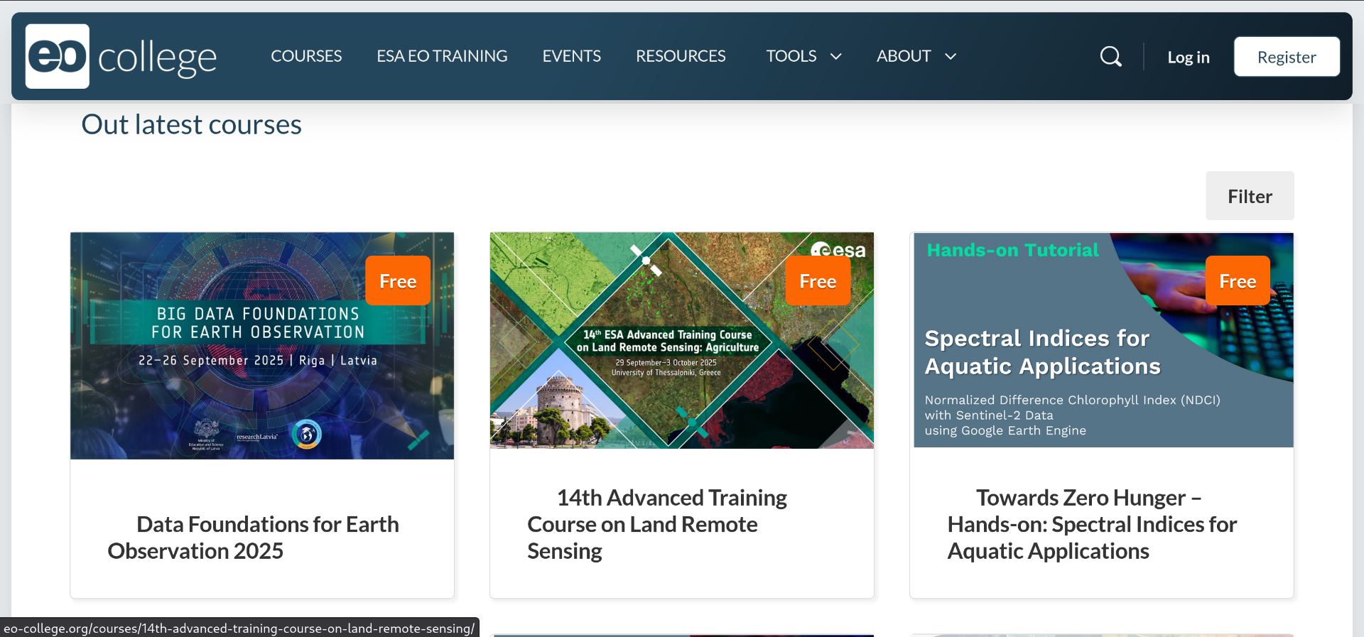
EO College
This is a modern e-Learning platform with a range of courses from introductory to advanced topics. The courses feature quizzes and interactive demos. Excellent introductory courses are also available such as the Introduction to Machine Learning for Earth Observation
See the full list of courses here.
Summary
There are tons of options for GIS and Remote Sensing courses and I hope these platforms can serve as a starting point the next time you're planning to pick up some new GIS and Remote Sensing skills. More options, including high-quality paid courses, can be found in our carefully curated and ever-expanding courses category.
Cheers!
David