
WSDOT Geospatial Open Data Portal
The WSDOT Geospatial Open Data Portal provides public access to the Washington State Department of Transportation's spatial data. Users can explore, filter, and download a variety of geospatial datasets related to transportation infrastructure and operations within Washington State. The portal also offers interactive maps for enhanced data visualization and analysis.
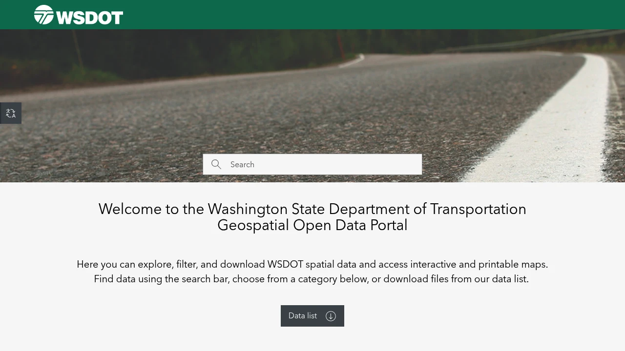
The Washington State Department of Transportation (WSDOT) offers its Geospatial Open Data Portal as a public resource for accessing spatial data. This portal allows users to explore, filter, and download a wide range of WSDOT's geospatial information, alongside accessing interactive and printable maps.
Data can be efficiently located using the search bar, by selecting from specific categories, or directly from a comprehensive data list. This flexibility ensures users can easily find the datasets relevant to their needs, whether for planning or research purposes.
It is crucial to note that all content on this site is provided for planning use only and is subject to change without prior notice. WSDOT expressly disclaims liability for any activities involving the data's use, including any economic or consequential damages. Furthermore, WSDOT does not warrant the data's fitness for a particular purpose or the results obtained from its use. Data Users are required to indemnify and hold harmless WSDOT against any claims or expenses arising from their use of the data.
Tags:
Disclaimer: We do not guarantee the accuracy of this information. Our documentation of this website on Geospatial Catalog does not represent any association between Geospatial Catalog and this listing. This summary may contain errors or inaccuracies.
Comments (0)
Sign in to leave a comment