
Printables.com
This Printables.com collection, curated by dhersh, features a series of 3D printable models focused on significant Civil War battlefields. It offers a unique way to engage with historical geography, providing tangible representations of important sites for study or display.
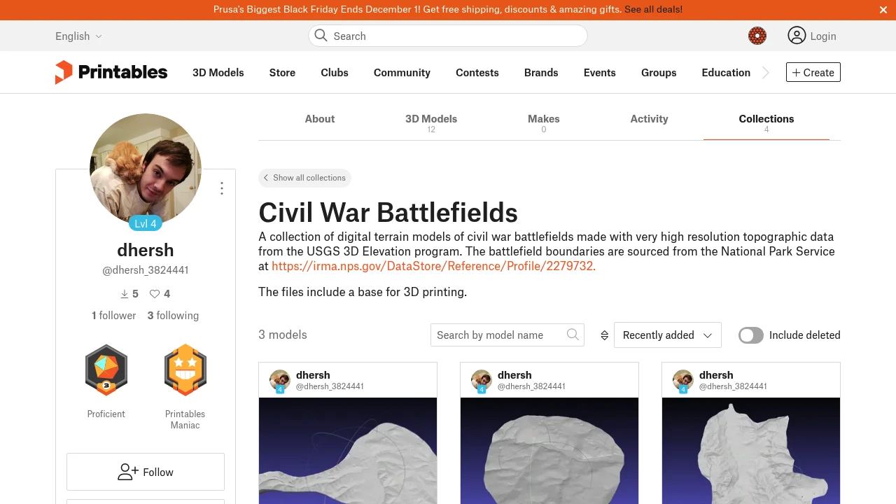
Printables.com hosts a diverse range of user-contributed 3D models, and this specific collection by dhersh provides a valuable resource for American Civil War enthusiasts and educators. The models within this collection likely represent the topography and key features of various battlegrounds, allowing for a detailed examination of the physical landscapes where historical events unfolded.
These 3D printing files serve as a form of open data, offering accessible representations of historical geospatial information. Such resources can be particularly useful for archaeology studies related to battlefields, educational programs, or personal interest in conservation of historical sites. The collection acts as a specialized data hub for geographically and historically significant models.
While not explicitly stated, many 3D terrain models are derived from digital elevation models (DEMs), making this collection a potential source for visualizing geology and terrain features relevant to the conflict in the United States. The availability of these models fosters engagement with historical geography through modern manufacturing techniques.
Tags:
Disclaimer: We do not guarantee the accuracy of this information. Our documentation of this website on Geospatial Catalog does not represent any association between Geospatial Catalog and this listing. This summary may contain errors or inaccuracies.
Comments (0)
Sign in to leave a comment