
NPS DataStore
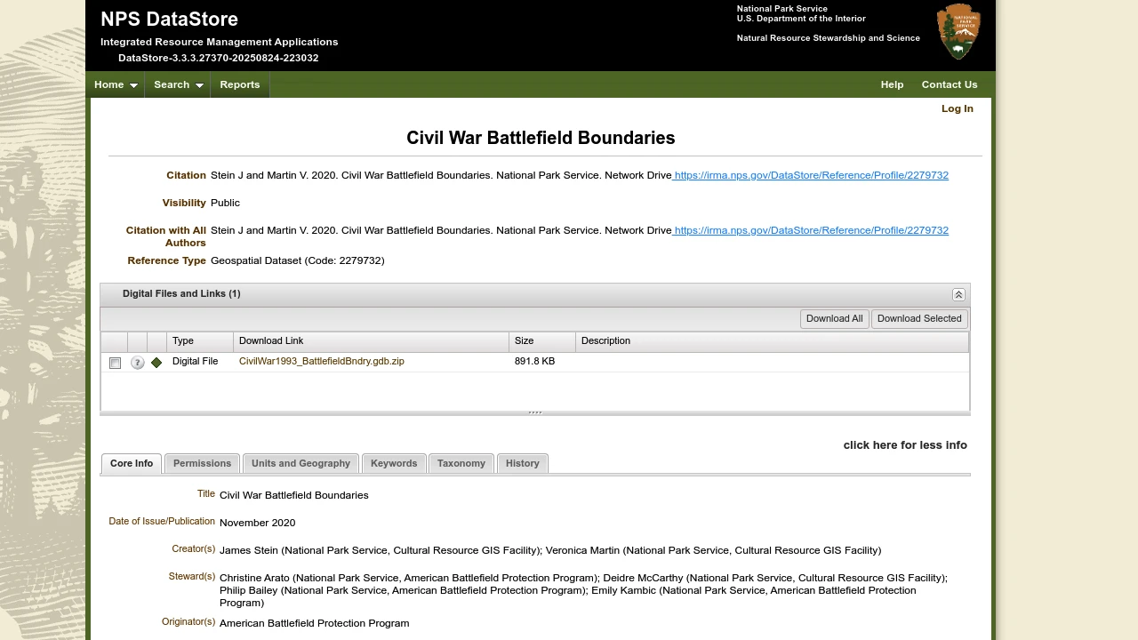
The NPS DataStore is a comprehensive online repository managed by the National Park Service (NPS) for integrated resource management data and references. This specific profile provides detailed citation information for "Civil War Battlefield Boundaries," a public reference.
The NPS DataStore serves as a vital resource for managing and accessing natural and cultural resource information pertinent to the National Park Service's mission. It functions as a centralized hub for various data types, supporting research, stewardship, and public understanding of park resources.
This particular entry details the "Civil War Battlefield Boundaries" reference, providing essential citation information for the dataset. Authored by Stein J and Martin V in 2020, this public reference highlights the availability of geospatial data related to significant American Civil War battle locations.
Users can explore the DataStore for a wide range of reports and references, with options for quick and advanced searches. The platform underscores the NPS's commitment to making valuable resource data accessible, fostering informed decision-making and promoting the conservation of historical and natural sites across the United States.
Disclaimer: We do not guarantee the accuracy of this information. Our documentation of this website on Geospatial Catalog does not represent any association between Geospatial Catalog and this listing. This summary may contain errors or inaccuracies.
Comments (0)
Sign in to leave a comment