
Land id®
This platform enables real estate professionals, ranchers, farmers, appraisers, builders, and landowners to discover extensive private parcel data. Users can create and showcase powerful, shareable, interactive maps with property lines and over 40 basemap overlays.
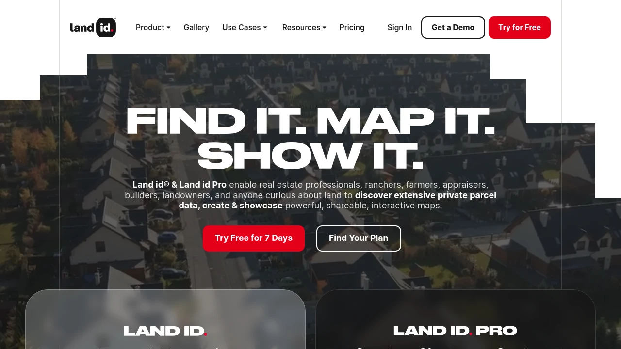
Land id® and Land id Pro empower various professionals, including real estate agents, ranchers, farmers, appraisers, builders, and landowners, to explore detailed private parcel data. The platform facilitates the creation and sharing of dynamic, interactive maps, offering a comprehensive view of land properties and listings.
Users gain access to extensive parcel data, property lines, and a wide array of mapping tools. The service provides nationwide property boundaries and both private and public property data, accessible on desktop and mobile devices. Over 40,000 industry professionals trust Land id® to research properties nationwide.
The platform allows for the creation of custom branded property maps that go beyond static visuals. Users can add property lines, boundaries, features, and data in an interactive format, bringing properties to life. With over 40 contextual basemap overlays, users can uncover hidden details and make data-informed decisions, leading to over 3 million maps created.
Disclaimer: We do not guarantee the accuracy of this information. Our documentation of this website on Geospatial Catalog does not represent any association between Geospatial Catalog and this listing. This summary may contain errors or inaccuracies.
Comments (0)
Sign in to leave a comment