
Atlas
This website, hosted by LSU, serves as a repository for numerous geospatial datasets. It offers users the ability to browse and download files, with options for individual quad or image footprint downloads via interactive maps, as well as bulk FTP access. For select datasets, web services are available, enabling direct viewing in applications without requiring local file downloads.
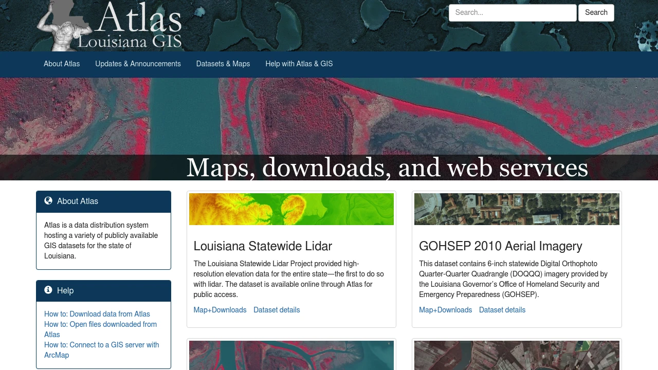
The Atlas website, hosted by Louisiana State University, functions as a primary geospatial data repository, specifically curating and distributing datasets for Louisiana. Users can explore a wide range of resources, each with its dedicated descriptive page and links to supplementary materials. The platform offers flexible access methods, including interactive "downloader" maps that allow for the selection and download of specific quads or image footprints.
Beyond individual file downloads, the site supports bulk data acquisition via FTP, catering to users requiring larger volumes of information. Furthermore, for certain datasets, web services are provided. This feature allows users to directly integrate and view layers within their GIS applications without the necessity of downloading all the underlying individual files, enhancing accessibility and workflow efficiency. Datasets include various digital orthophoto quarter quadrangles (DOQQ) from different years, Landsat mosaics, and topographic data.
Tags:
Disclaimer: We do not guarantee the accuracy of this information. Our documentation of this website on Geospatial Catalog does not represent any association between Geospatial Catalog and this listing. This summary may contain errors or inaccuracies.
Comments (0)
Sign in to leave a comment